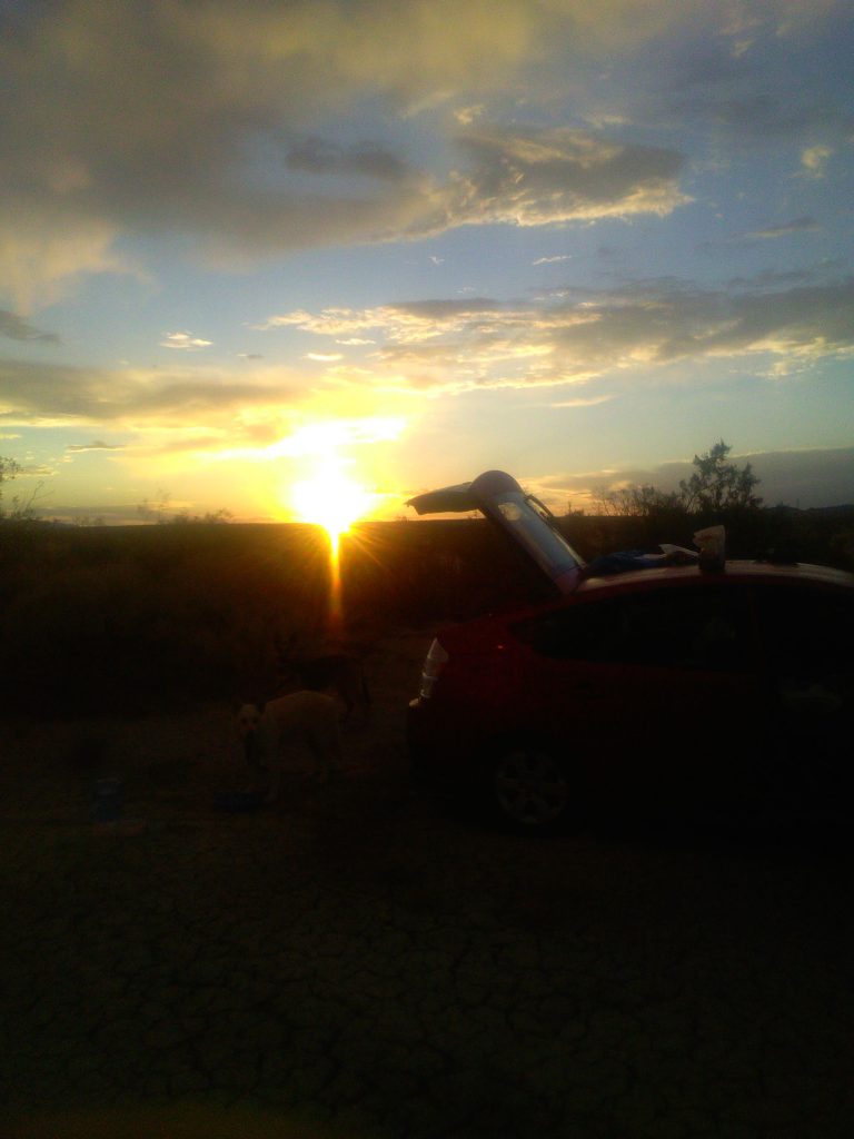
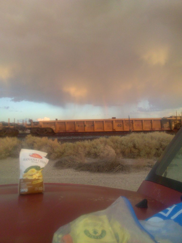
I felt a strong urge to get away, so I decided to take a five day car trip to Utah and back, with a goal of talking to as few people as possible (preferably zero) and do a little bit of sewing. I made it to Mojave, Ca, before finally deciding to pull over and come up with a little more of a plan than just Utah, somewhere. After letting the dogs stretch their legs, I looked at some maps and started formulating a plan. We loaded back into the car and drove on to Harvard, Ca, and camped the first night next to some train tracks.
We arrived late to our spot by the tracks, so we stayed in the car. Christmas choose to sleep outside, but I did keep him attached to a leash so he couldn’t go far. It was a quiet night, except for the passing trains.
The morning brought the worse mishap of the trip. In the night, I had knocked over the little water faucet, I have for my water container, and about half my water supply leaked onto the floorboard of my car. I did the best I could to clean and dry off any gear and the floorboard. The dogs ate, I drank some tea, and we took a little walk. We got back into the car to continue on and hopefully find some water before we camp for the second night. We didn’t.
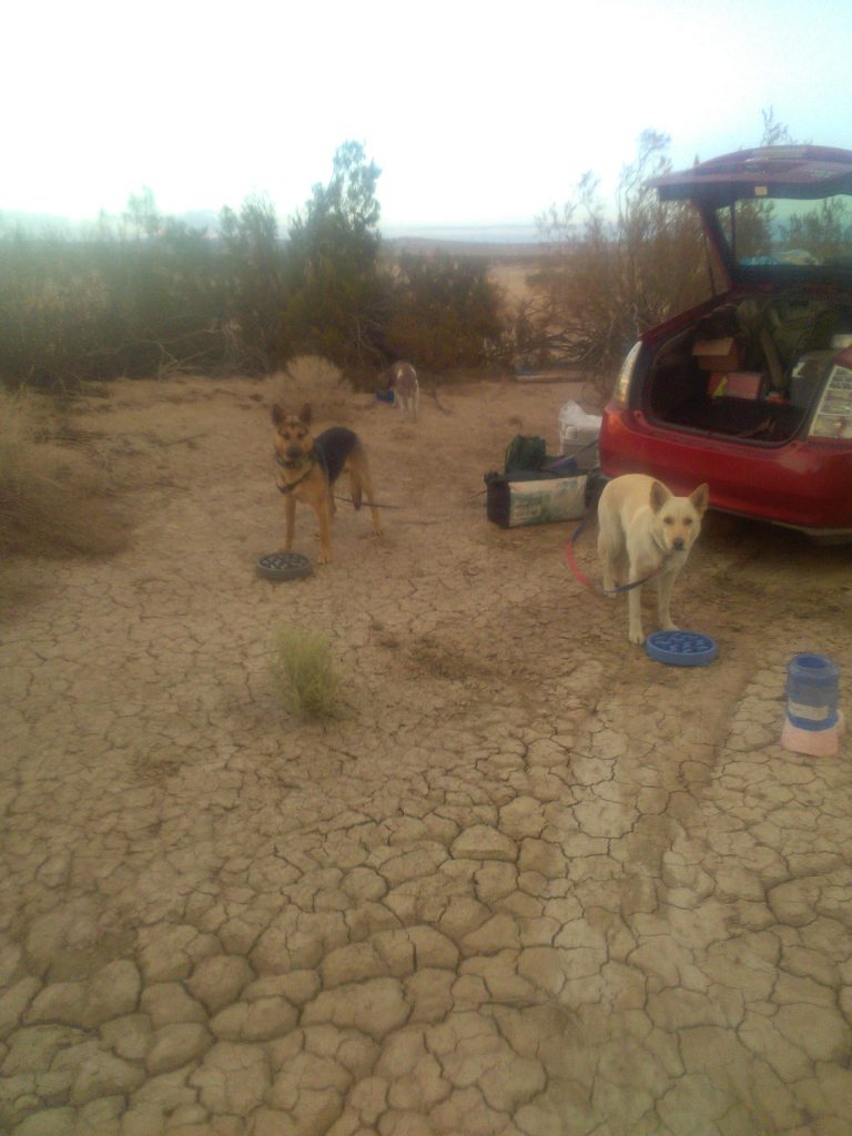
We got back onto I-15 heading towards Las Vegas. My plan was to head east, past Las Vegas, and turn north a little before the Arizona border. I stopped first near Ivanpah Dry Lake to let the dogs out for just a little while. We climbed a small hill to explore a little and look around. Then got back on the road looking for a place to refill our water supply, with a little shade for the dogs to wait under, while I was in the store.
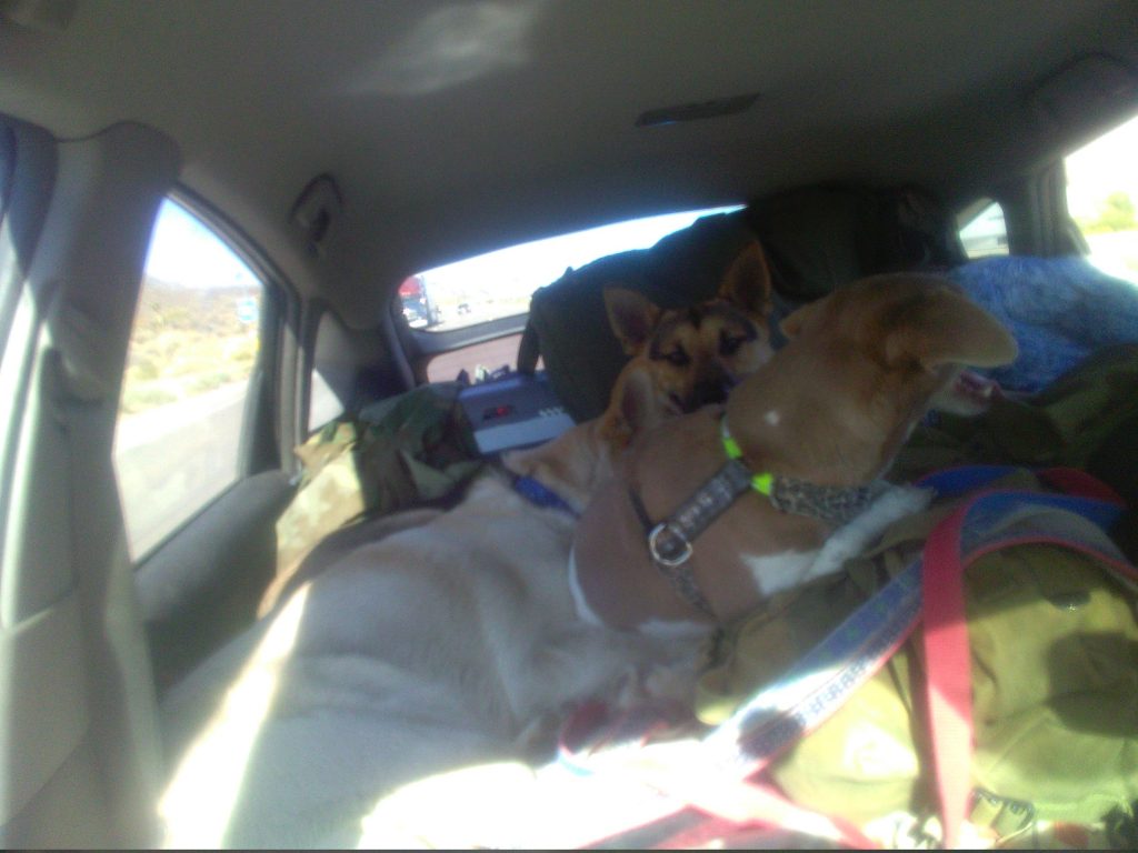
In Las Vegas I saw a Valero just off the interstate that was promising looking, but it wasn’t the easiest to get to once I got onto the surface streets. Instead of making a u-turn and trying to get to the store, I decided to keep driving, somewhat randomly, looking for another store that matched my stipulations. I ended up doing something of a circle, crossing the freeway twice, and backtracking an exit, yet was unable to find a store I was comfortable stopping at. I found myself amazed by how hidden normal everyday stores seemed to be. I did eventually come across a big box home improvement store with some discount grocery store, but I didn’t see a place I felt comfortable parking with the dogs, as I went inside somewhere to buy water. I steered us back onto the freeway and continued on to Glendale just before the Arizona border.
I got to Glendale and Highway 168. I exited the interstate to head north, and saw an Arco. I pulled over to top off my fuel tank and buy some water that was probably going to be more than I wanted to pay. They had water, but the only water they had was fortified with electrolytes. I gave it some thought; I was heading into the desert, destination still undecided, with less water than I had planned. The thought of using it to make my tea was enough for me to negate the water and just topped off my fuel tank.
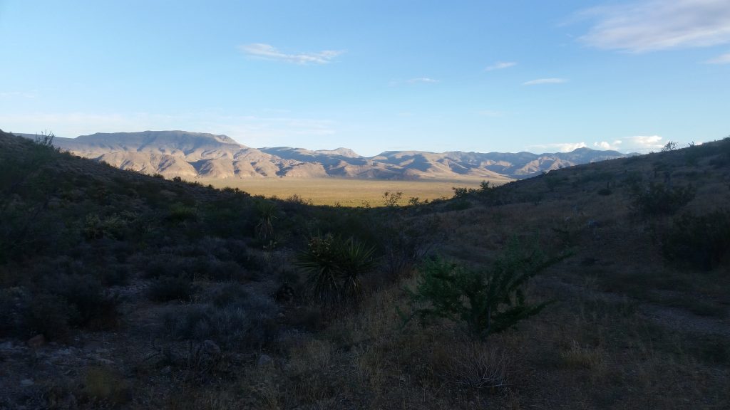
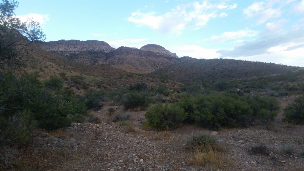
My initial plan was to take a back road off of 168 and take Highway 317 to head into the Mormon Mountains to search for a place to camp for the night. When I got to 317, I didn’t feel so strongly about the condition of the road. Instead I kept on 168, until it intersected with Highway 93 at Coyote Springs. Driving north on 93, I made a right onto Kane Springs Road, a promising looking dirt road that headed through a valley between two mountain ranges and terminated in Eglin, a historical town site. I headed into the wilderness for a while looking for a road leading into one of the mountains that may contain a secluded area to camp for the night. I saw a road and headed uphill, into the Meadow Valley Range. Found a beautiful little spot next to a wash, with a view of the Delamar Mountains, and we began the process of setting up camp.
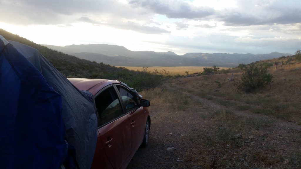
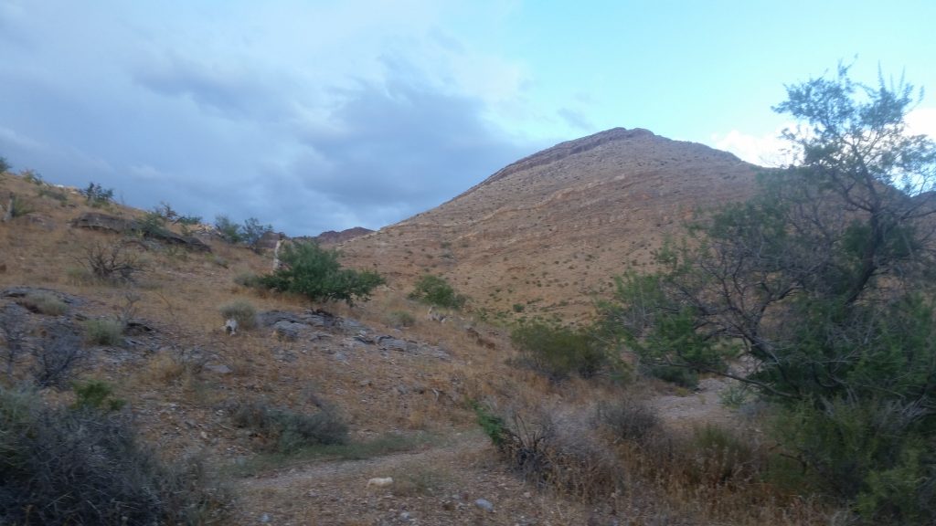
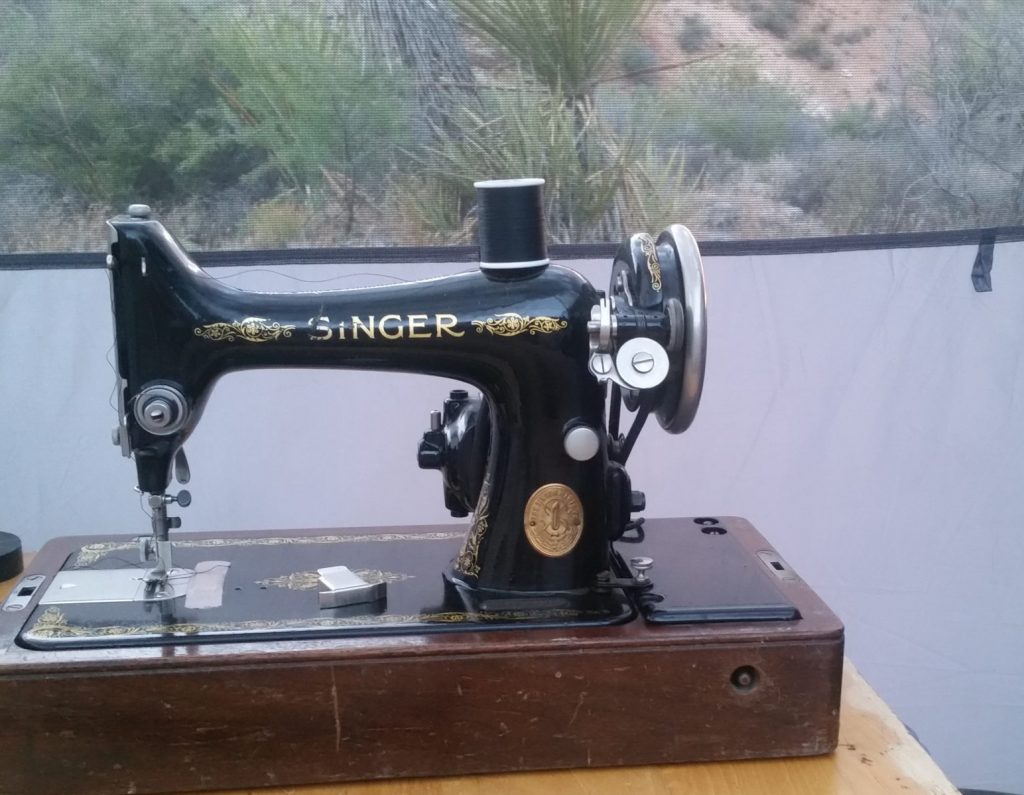
We took a short walk to explore our local area, but between the heat, the toughness of the ground against my bare feet, and it being late in the day, we kept it short. I decided to set up my 1926 Singer Model 99 to see how it would look in the tent. The late light actually ended up really making the sewing machine shine, so I took a few pictures. I didn’t use her that night, but I did some prep work for making collars, including some ironing so I could test my household power setup.
The morning came after a quiet night, and we got up for our morning tea and breakfast. I would have loved to stay longer, or explore the area a little more, but I was down to under two quarts of water for me and four dogs. I packed up our little camp and drove out of the mountain. Back onto the dirt road, I steered towards Eglin, a little town that was possibly more than a building with a museum.
I got to Eglin where Kane Springs Road ended and Highway 317 began, turning towards the north. There was some greenery and water, but I was more concerned for our overall water situation and decided to push on towards Caliente. 317 took me through the Rainbow Canyon and some of the most beautiful canyon walls I have ever seen. I was concerned seeing a “road closed” sign as we started, but tried my luck, and kept going. I had already passed one “road closed” sign on a road that didn’t seem closed, so I felt it was a decent chance I would be able to get through. The road traveled along a little river that had recently flooded and washed out the road in locations. Those repairs seemed to have just finished up as I only saw a few construction vehicles cleaning up the construction sites. It seemed I was likely one of the first travelers to make it through.
The first business I saw coming into Caliente was Family Dollar. It was the best place I could have hoped for to refill my water tank. Even though there wasn’t any shade, it was still cool enough for me to shop without overly stressing about the dogs being left in the car. I grabbed 7 gallons of water to refill my tank. After letting the dogs out for a little bit, we loaded back up, topped off the fuel tank, and headed east to Utah.
We crossed into Utah in a little less than an hour. I still didn’t have a plan other than want to hide. I couldn’t decide yet if I wanted to head towards the mountains on the north, or veer south towards Dixie National Forest. I chose the Dixie National Forest. After passing Modena, I decided to start heading into the wilderness after the next town, Newcastle. Then I suddenly noticed a dirt road that looked promising, and I made a hard right, never making it to Newcastle.
This is when my poor car started taking her beating.
The road started out as a nice gentle dirt road. Then there was an intersection. The smooth and comfortable dirt road seemed to have turned right. I decided to continue straight heading towards the mountains and avoiding potential settlements. The sage brush was far more overgrown in the center of the road, but the road still looked passable. The sage was getting thicker and smacking the underside of my car extremely hard. Every now and then, there would be a rock hidden in the sage that would smack my exhaust at a low point. I hogged the right side of the ruts so the high point of the road would be a little offset of my exhaust’s low-point. My car was still taking a beating, though. There was a point I was very grateful for every plastic trim piece affixed to the bottom of my car for the additional protection they provided. Seconds after that, I thought I heard the scraping sounds of trim rubbing against the gravel. I sighed an ironic chuckle.
After cutting off the offending bits of under-skirting from my car we continued on, navigating between the town and foothills in an attempt to head deeper in to the mountains. I passed a county maintenance truck, which offered up some concern I may have to interact with a person. Fortunately, they veered left heading into the small town. After passing them, I saw that they were part of a crew that freshly graded the road. This inspired some confidence within me. We continued up the mountain until we came across a grass covered hilltop with an inviting tree on the side.
We drove up the little trail to the tree for consideration of a campsite. There was a nice flat spot to setup the tent. The dogs and I walked to the top of the hill to see our surroundings. On one side there was a deep valley surrounded by deep slopes. On the other side, were more mountains covered by a plush juniper forest. It was a very beautiful spot, but was too close to the road and visible to passing traffic for me to be comfortable. I considered camping closer to the top, but I worried that I may find myself fighting some very strong winds. Deciding I didn’t want to potentially chase my tent around in the wind, I decided to look for another spot to camp, and proceeded to head into the depths of the juniper forest.
I steered us back on the dusty road heading downhill for a while. We came across a road heading to the right, where I thought there would be a road looking at the topography of the forest from above. We got to a cattle gate with trails along the fence on either side with the main road heading deeper into the mountains. We followed the road until we came across a fairly steep and rocky incline that I was concerned I would be unable to get back up, especially should it be wet. I reversed for a ways until I came to a spot I could turn around, made a multi-point u-turn, and headed back to the gate. At the gate, we took the fence trail going up the closest slope. The heavy growth in the center of the track definitely suggested that it has been a while since anybody else had taken this route. We didn’t beat the underside of the car for too long, until the trail turned right and became too overgrown to continue driving. To the left there was fence that formed a corner joining three different properties, for which the cattle gates were opened, and left opened some time ago, showing more evidence of the rareness of travelers. Beyond the second opened gate, the juniper forest had been clearly manicured, probably to limit the potential of wildfire damage. It looked perfect for setting up a hidden camp for a night or two. I selected a spot, lightly bashed my car into place, and setup camp.
I got the tent setup fairly quickly, and opened the hatch so the dogs had a little room to roam while I setup the fence. It had been a while since I had used the electric fencing, so I was a little uncertain of the condition of the fence. The ground was incredibly hard against my bare feet leading to some concern that the ground would be too hard to push in the fence posts. Fortunately, that proved not to be true, and the fence posts were surprisingly easy to push into the dirt. It took a little while to unroll the fence, as the years of sitting has caused some minor tangling at the edges, but once unrolled, it was still in usable shape.
With the yard setup, I released the dogs so they could explore their new surroundings and drink some water. I finished setting up the tent and we relaxed for a bit, taking in the forest I was calling home. The bees were grateful for the water I provided and came by in surprising numbers. The number of bees shouldn’t have been too surprising, with Utah being known as “The Beehive State”. After it cooled down, we wanted to take a walk and explore our local area. The ground was too rough for my feet and the dogs’ feet. Returning to camp, we ate some dinner and did some sewing until it became too dark.
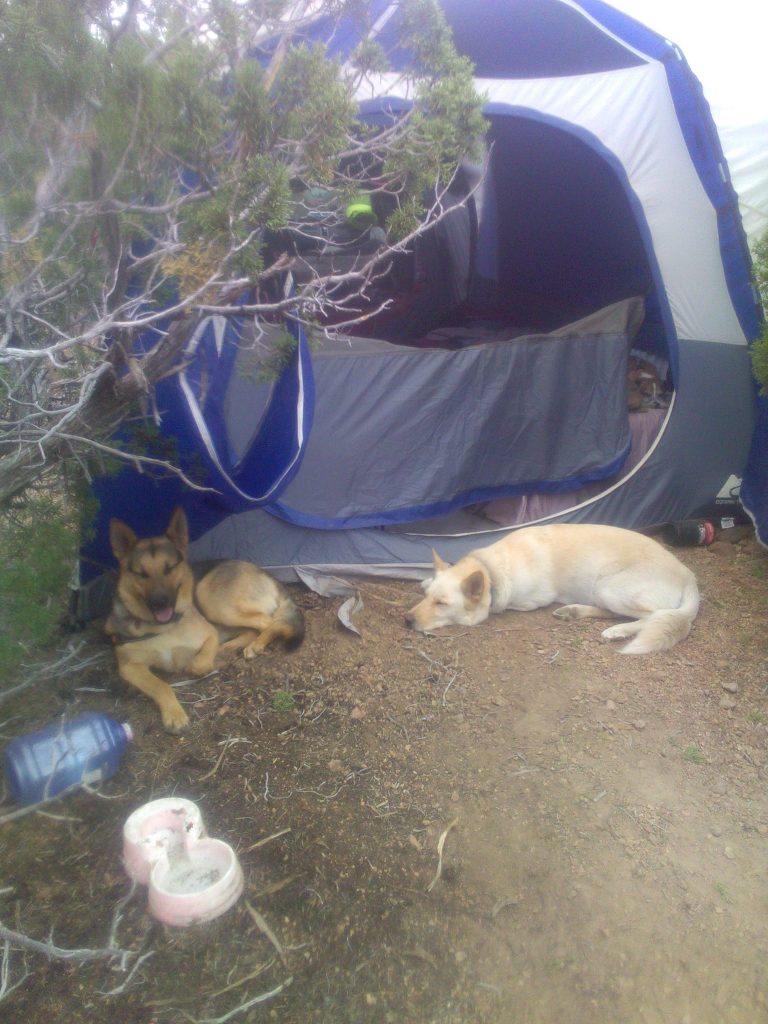
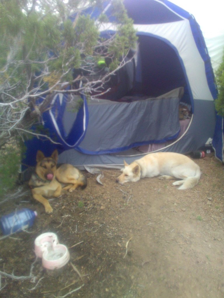
In Nevada I slept under the stars and it was beautiful. While clouds did follow me from Nevada to Utah, I didn’t think too much of it, and fell asleep under the stars again. At some point in the night, I was awoken by drops of rain falling on my head. I laid in bed trying to believe my attempts at denial. Then came the downpour. I got up, fished out the rain-fly, and in the darkest of night, rain falling on my bare skin, placed it over the tent. Fighting the junipers while getting the rain-fly up, I managed to get more than a few marks for my efforts. After drying off with a towel, we all cuddled back into bed and fell back to sleep listening to the rain falling on the nylon roof.
We survived the night and woke up to a wet morning. Stepping out of the tent, water had puddled up on the porch roof, which I pushed off, to immediately regret. Fortunately, it did keep refilling and I was able to use the water for the dogs and washing, easing the pressure for the limited water supply carried by our water tank. It would be nice to come up with some sort of rain containment system that I could use on the road, for such situations. That would go a long way to extend our water supply, but feel a little better about returning it to the environment when packing up to leave.
After feeding the dogs and drinking some tea, I gave deep consideration of what to do for the day. I decided not much, not much at all. The rain was coming and going helping keep the dogs’ energy levels down, so they didn’t want to do much either. Plus, it had been a hard few days of travel. When we would go for a walk, the ground was incredibly hard on our feet, either from heat or the feeling of rough concrete, so nobody was too eager to travel far. The dogs chased each other around the trees in our campsite and wrestled some, while broke out my computer and did a little writing. After getting some texts (while I thought my phone was turned off), I realized I was close enough to civilization that I had some pretty good 4g internet service. I should have checked to see if my new 5g router would work, but I didn’t think of it at the time. I watched some videos on Youtube, and then got started on some sewing while listening to music. That is how most of the day went, sewing and music while it rained on and off.
Survived another night
Dry
Surrounded by mud
Sun shows
Peace long sought
Through rising mist
Soon gone
With the drops
Lingering on
The rain-fly
The miles are short
The dirt is fresh
The rain is recent
The mud is fun
Stay
Dry out
Go
Fling mud
Bogged down
Can’t be a thing
Questions
So deep
To sit still
And it is okay
Little to do
No troubles bothered
No worries handled
The quiet
To hear oceans in my
Own ears
From the top of
The mountains
Far distant from
Shores of anywhere
The to do list
Crumpled
Buried
I’ll get to something
Later
Maybe
Then the ring
The chime
The phone
When did it power up
Why
How
Shhhhh
We don’t talk
No one to know
The quiet
To be kept to myself
None knows
No one to share
The loss of humans
Somehow I again
Can feel humanity
I started trying to pinpoint where I was. Up to this point, I had been relying on paper maps that weren’t very detailed, being state level maps. These were great for the open road, but I had taken a few turns off the main paths and wasn’t so sure where I ended up. I found a rusty sign near one of the fences that indicated that I was in a national forest, but that was about all I knew. I finally broke down and turned on my GPS unit. I learned I was in the Dixie National Forest, just a little over 20 miles from Enterprise, UT. I also learned that the small settlements that concerned me after turning off 56, was a cemetery and an historic settlement. Both locations I would have enjoyed visiting, if I wasn’t so concerned about having to talk to a person. Looking at the route to Enterprise, it looked pretty easy, so with my mind at ease, I went back to sewing.
Towards the evening the clouds let up, showing the blue sky again in time for the stars to be out for the night. The morning came to cool weather, blue skies, and the remains of wetness over the rain-fly. The rain had softened the ground, so around mid-morning, we went for a little hike to check out the condition of the road. Further down the road, there were some decent mud-puddles to traverse, but what I had seen seemed passable or there was a way through the grasses. I felt pretty good that I would have little trouble following the road to get to Enterprise. While we were out walking, the sky was getting darker, filling with clouds, and I decided it was time to head back to camp. I had enough water that I was thinking I may have made it through another night, but I wasn’t so sure I would be able to get to town if rain made the road any rougher. I decided to break camp and drive on to a new spot. I timed myself and was able to breakdown camp and be on the road in less than an hour.
We pulled out around about 1 or 2 o’clock and got back on the road heading to Enterprise. On Old Modena Road, I powered through some puddles, avoided others, the whole time feeling the under of my car taking an ever greater beating. Still, we were making good time and for about 9 miles the road was okay. Then there wasn’t a road. The recent storms had caused some of the streams to flow heavier than normal, and washed out a section of road. A bypass was created, but that was washed out too. There was a third bypass, but that was just a place to enter the stream bed and drive back down onto the road on the other side of the washout. Walking back to the car after scouting the alternate route, I noticed the fender liners for my front wheels had disappeared. They were just gone without having even noticed that something, mud or brush, had ripped them off. We got passed that washed out, and continued on, but that wasn’t the last one, that was just the easiest. The next two washouts were more ditches, without bypasses. After careful consideration, I decided that I could probably drive fast enough to overcome gravity for just long enough for the front tires to not get stuck. The second ditch was even deeper than the first, with a steep hill to climb on the other side. I considered rolling some boulders into the ditch to hopefully keep my wheels from dropping below the ridge of the creek. In the end, I decided to just gun my little Prius faster than the last ditch and hope that the road would have some give as I crashed into the other side. At the very least, the GPS was showing only 10 miles to town and I knew we were good for a ten mile hike to help. I got back into the car, gunned it, made it across the ditch, and with the engine racing, we fought our way up the hill. We got to the top of the incline and had to stop to breathe for just a moment, enjoying the thrill of making through what no Prius should have to go through. With my breath caught, I started driving again. With the last great challenge behind us, the road was smooth and fast. We passed the gate of a resident shortly, so even if I did get stuck, I wouldn’t have had far to go to find help. We reached Highway 219 soon after, and drove into the small town of Enterprise. I stopped at a Dollar General to buy some more water to fill my water tank, which was emptier then I realized. I also filled my gas tank at the gas station, where my calculations showed that I averaged over 50 miles per gallon driving through the wilderness of Nevada and Utah.
Getting back on Highway 18, we continued south. It was absolutely beautiful scenery. I didn’t see any promising campsites close to the highway, and I didn’t want to drive too deep into the wilderness that night. We got to St. George, drove right through it on our way to Interstate 15 to start heading back towards California. A few miles into Arizona, I came across an exit for the Beaver Dam Wilderness that looked promising for potential campsites. So back into the wilds I drove. It was a good road that indeed had a few potential campsites, but after a few miles in I found a location that overlooked a canyon and I could see I-15 far in the distance. It was just an amazing view, and so I setup camp.
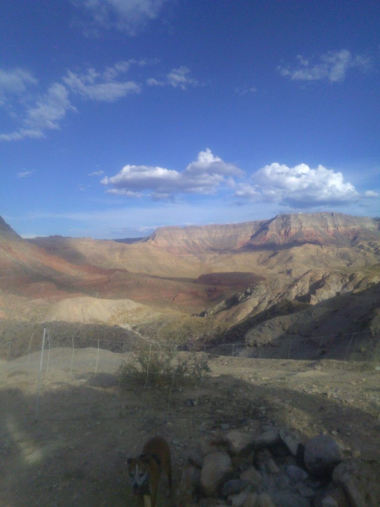
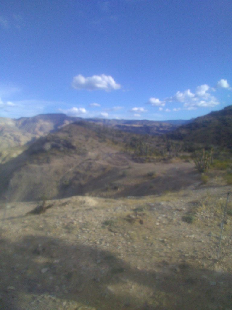
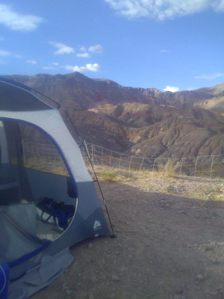
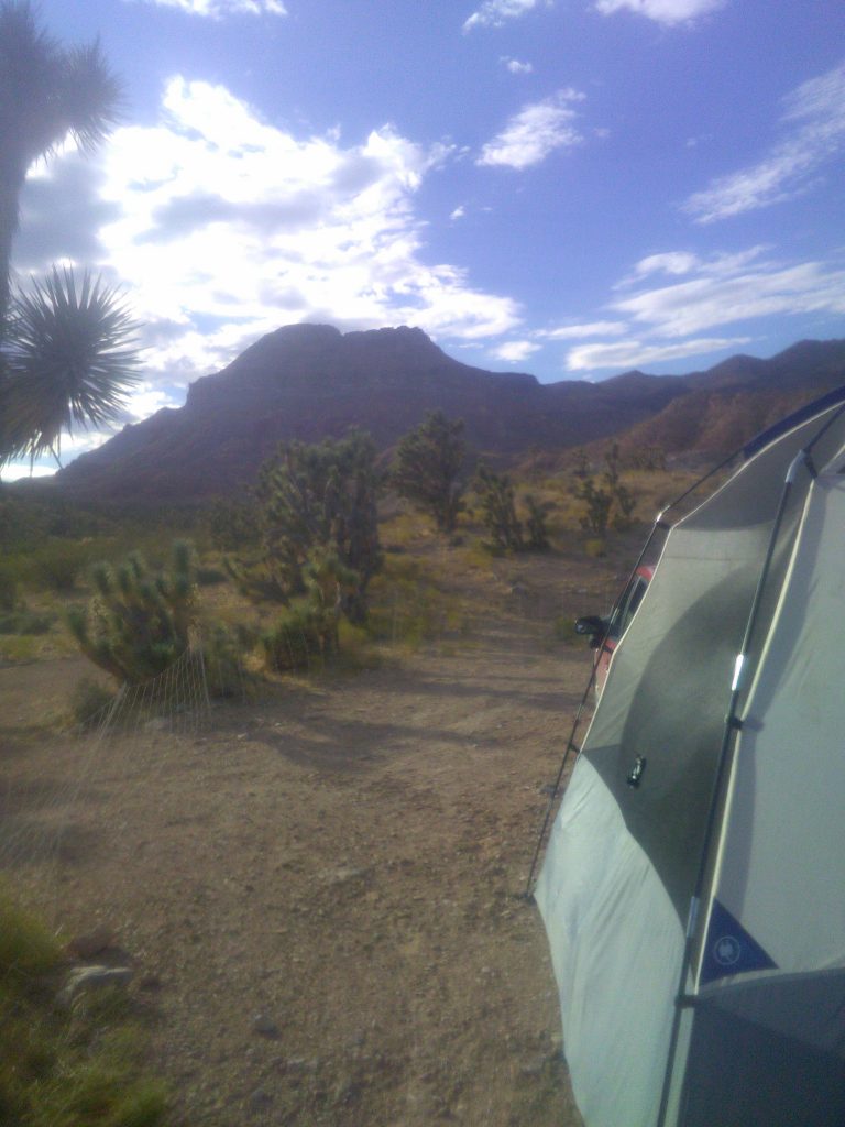
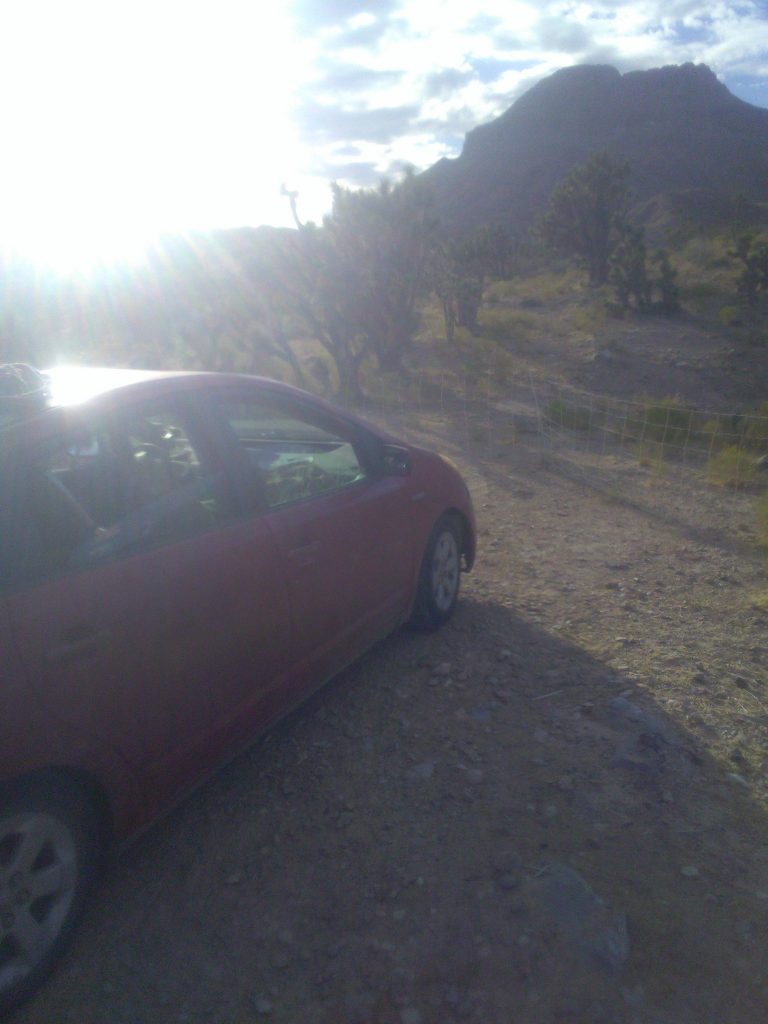
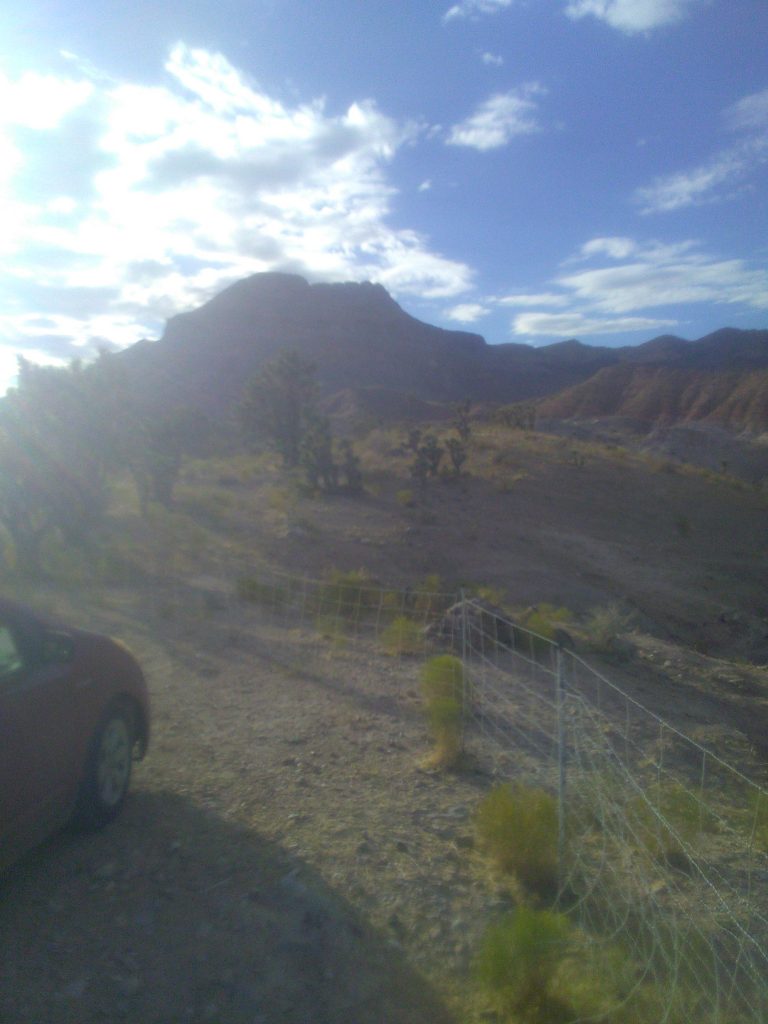
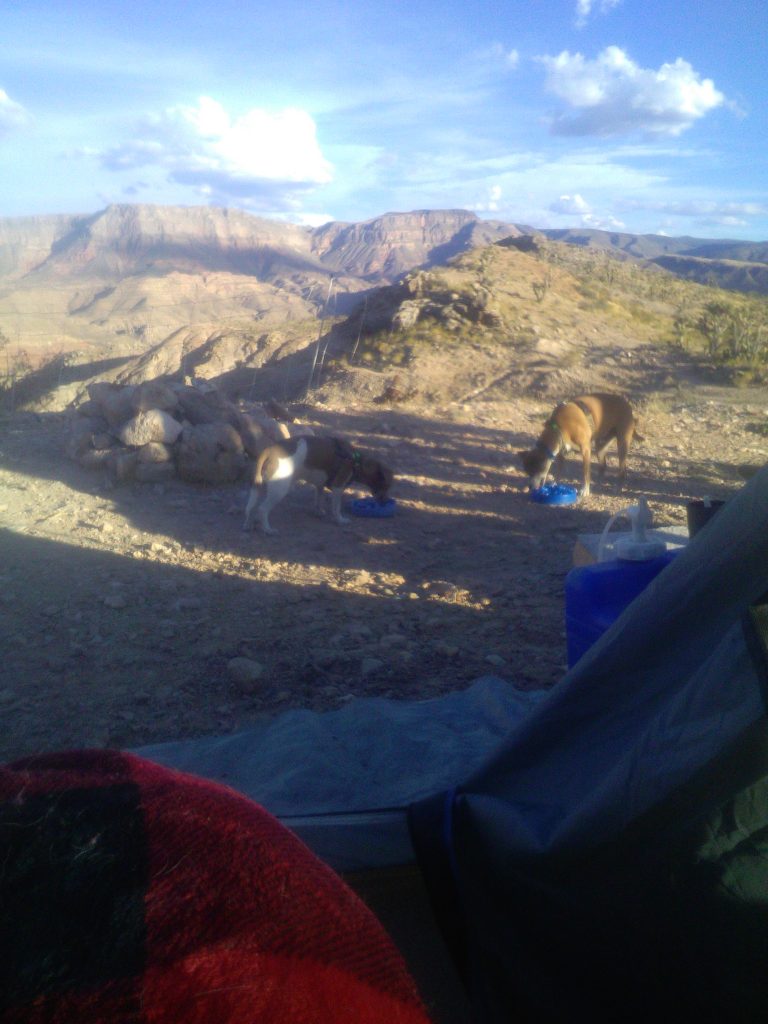
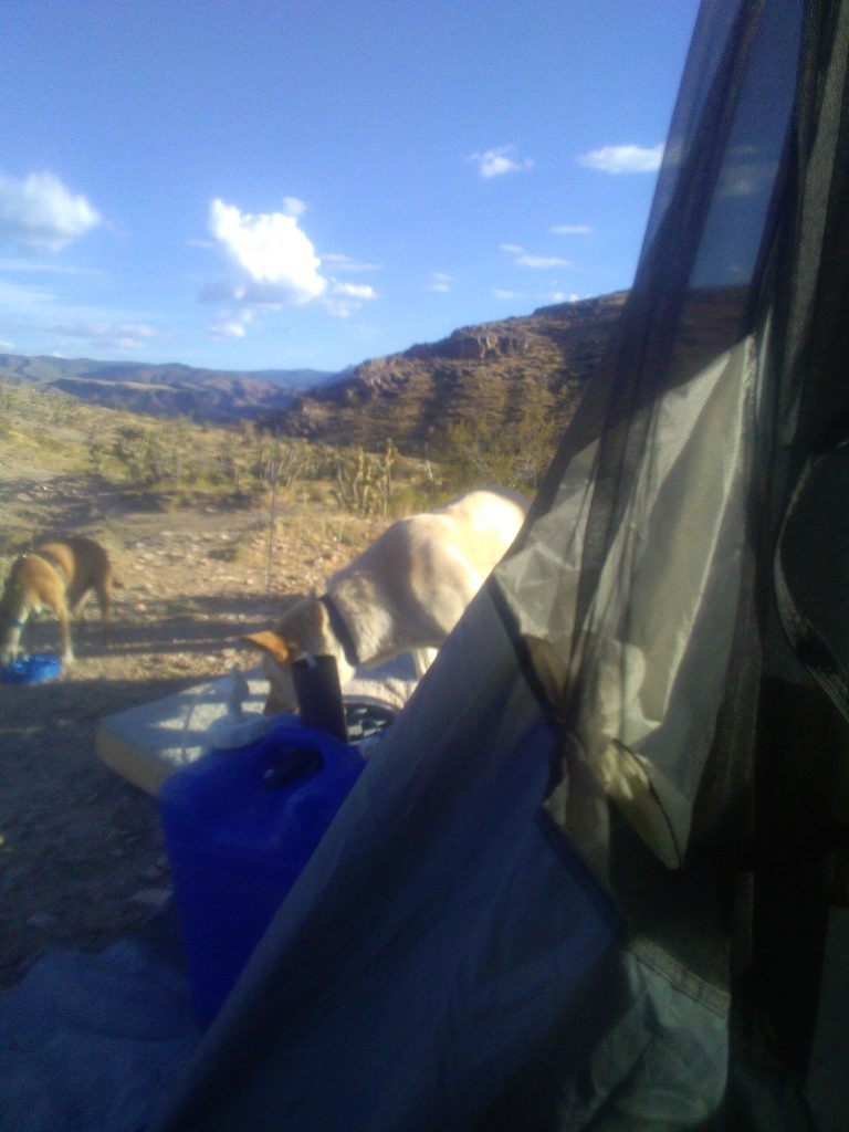
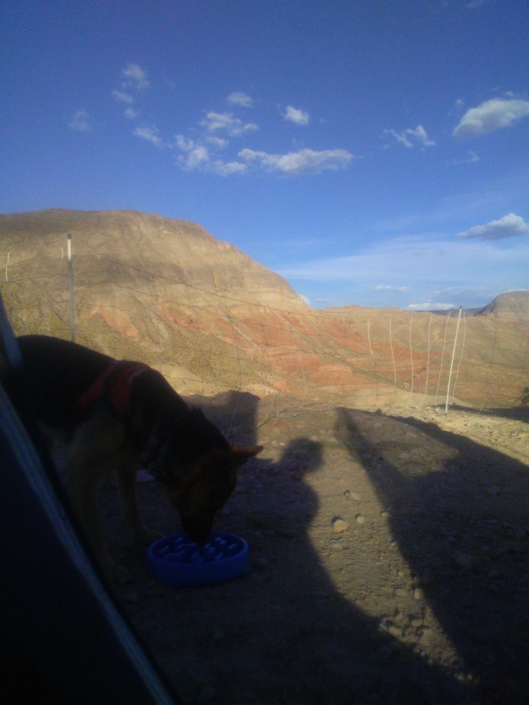
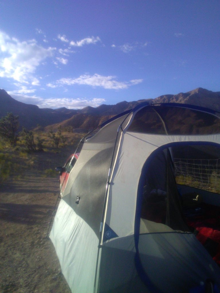
I was surprised by how easy it was for the net fencing to go into the hard ground, creating a nice temporary homestead. After setting up, we went for a short little walk, but the ground was very hard on all of our feet and we just couldn’t explore too much. We got back to the tent and made some dinner for us all. Then we enjoyed the view looking down on I-15 as the sun set and fell asleep. Christmas got to be trusted to stay outside, making for a lovely picture of a Sheppard sleeping outside keeping us all safe. After making some tea and breakfast for the dogs, we broke camp and were back on the road. It took me just under an hour to break camp and be rolling again.
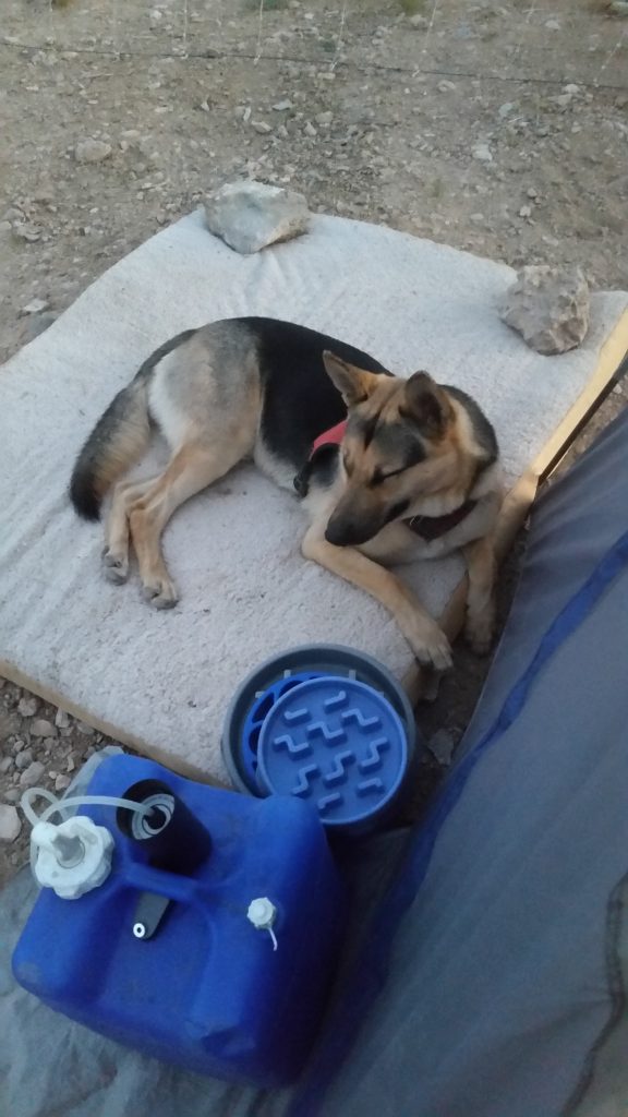
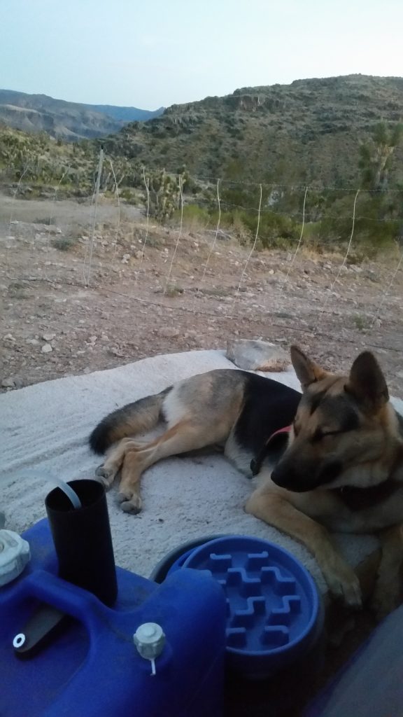
The speed in which I was able to set up and break camp was a great confidence booster for doing this more in the future. There is still some work to be done to increase the livability of using the Prius as an recreational vehicle. The big issue is making the Prius more livable when unable to setup the tent, as was the situation for the first night of the trip.
After getting all our gear packed up and back into the car we headed down the mountain road and got back onto I-15 heading towards Las Vegas. Just west of Las Vegas, I veered off I-15 headed north onto State Highway 160, which I followed up to Pahrump. I stopped to fill up my gas tank one last time before crossing the border into California via 372, which turns into California highway 178 at the border. I could have theoretically followed 178 all the way back to Bakersfield, but I felt that would be too simple. Instead, at Shoshone I decided to head south on 127 until I made it back to I-15. I followed the 15 back to Barstow, where I got back onto highway 58 and back to Bakersfield.
And now for the damage report-
Some of the damaged not pictured; the front bumper cover is cracked, dented, and not completely held on to the car, a couple of minor dents in the fenders, and my rear shocks are in need of replacement from being over-loaded and driven hard.
All together the off-grid adventure in the Prius was a huge success. Now it is about making the Prius into an even more efficient camper, for many more travels.
-Duckin’ Kev.
